 |
Black Mountains WAUN FACH 17 October 2015 |
|
| Waun Fach Ascent On Top Descent Dragon's Back Maps & Data Please Read Me |
Waun Fach - 17 October
Today we scaled Waun Fach, at about 810 metres, the highest point in the Black Mountains. This was a 9⅔ mile (15½ Km) circular walk, straight from the doorstep of our hostel. Sunshine and fine views accompanied us, particularly on our ascent. It was quite windy on top but, importantly, it stayed dry. Autumn was all around us, with autumn tints starting to grace the lower reaches of our route. It was a good choice of Jim for our first full day, and, as if to celebrate, we had an enjoyable evening at our local "Dragon's Back" Inn.
It's a steep climb up to Waun Fach.
So here's what you will see on this page, but of course, in addition to the pictures you will see here, there is also some more quantitative information on our high-level walk.
Waun Fach - Our Ascent
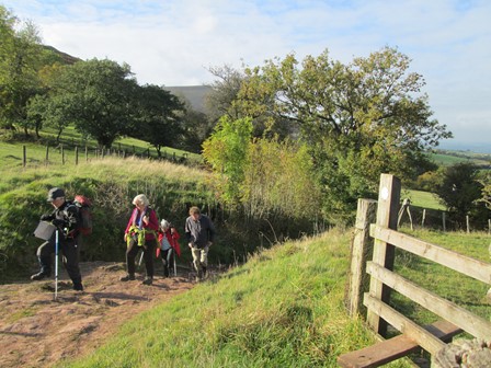
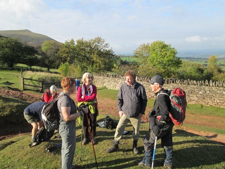
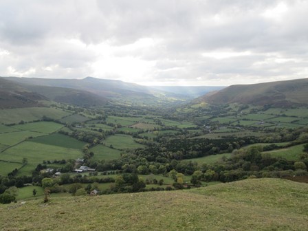
We set out from the doorstep of our hostel and headed for the base of Castell Dinas. Then, after a bit of cross-country walking, we advanced along the ridge (Y Crib) enjoying fine views to the north and to the south west. Excellent walking weather as you will see from the pictures!
As we come up to the foot of Castell Dinas ...
... we see this fine view to the north.
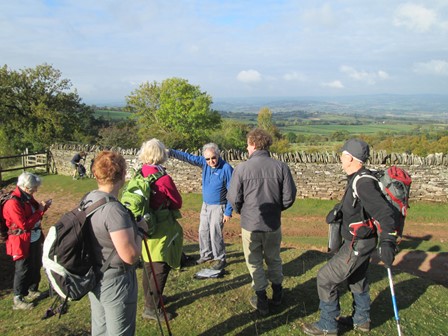
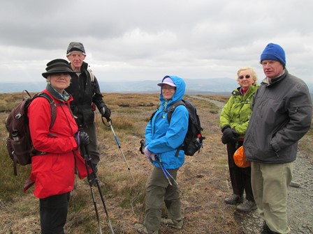
Then, it's time to stop for ...
... a breather, a chat, some refreshment, and a look at the view.
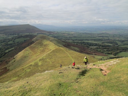
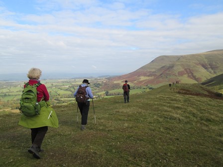
We go on to "Y Crib" - literally "The Ridge" in Welsh.
Here are ...
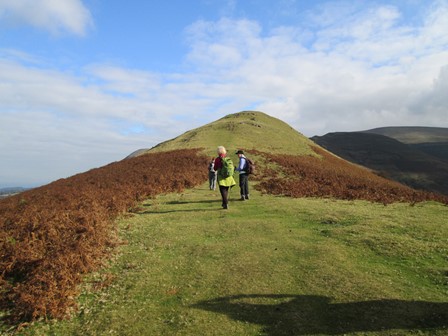
... two more views along the ridge.
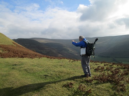
Jim decides it's another good photo opportunity.
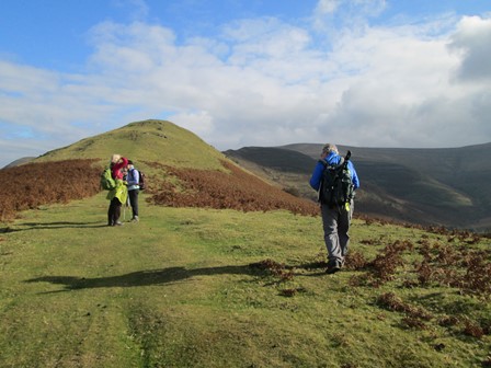
This ridge is really great. It's the Great Outdoors.
It's so great that we tarry awhile.
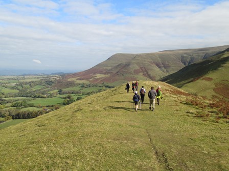
Here's the view to the south west.
Onward ...
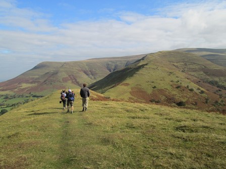
... and ever onward we go.
Still further our feet do take us.
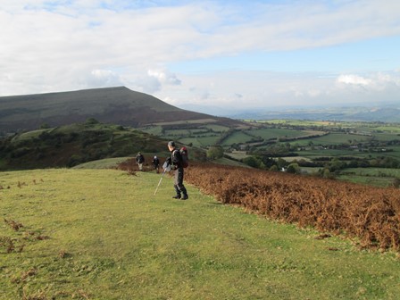
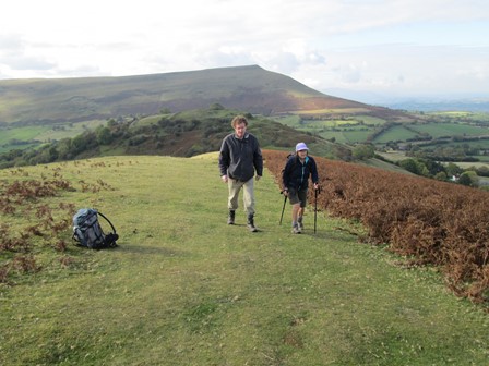
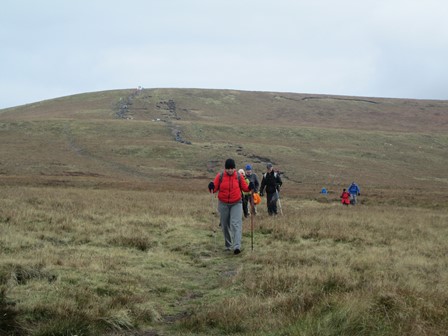
Now it's a steeper climb ...
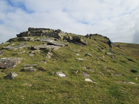
... until we reach a rocky outcrop.
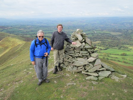
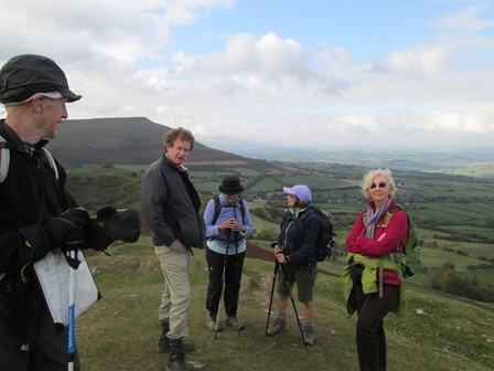
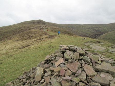
At the next cairn we have another photo-opp.
From the cairn we can look back on the way we came up.
Our cairn seems to be perched right on the edge of the ridge.
Obey Aero-Spatial Rules from here!
On Waun Fach! - Roof of the Black Mountains
Then it was "cross-country" again to reach (just north of Pen y Manllwyn) the track for Waun Fawr, which means "little bog" or "little marsh" - a strange way to call the highest point in the Brecon Beacons. There is not even a trig point at Waun Fawr. Sunshine accompanied us until we closed in on Waun Fawr. Then it became windy and cloudy, but, importantly, it stayed dry. New paths are being made up further down off the peak; the freshly delivered bags of gravel made excellent lunch seats! Maybe, some sort of monument might one day grace the presently barren peak of Waun Fawr.
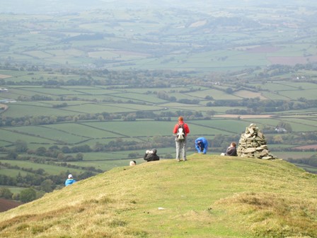
On Waun Fawr we pose for the important "have-been-here" picture and ...
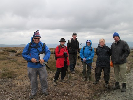
... try to ensure no one is left out! Jim and Yours Truely have now come into the picture!
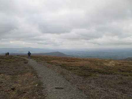
It's a splendid mixture of clouds and open landscape as we start to consider our descent.

Some rays of sunshine brighten the vastness of this mountain world.
Waun Fach - Our Descent
We decided not to descend directly to Cwmfforest, but reached the Rhiangoll Valley about a kilometre north of the village of Waun Fach in the said valley. Yes, both a peak (high-level) and a village (low-level) bear the same name of "Waun Fach". What confusion this may have caused and might still cause, is left to the imagination - but then, this adds a bit of local flavour to the proceedings. We reached a stony footpath which followed the Rhiangoll and had several fords - the last crossable in wellies or by balancing on the remnants of a conveniently placed rusty old gate. That's the spirit of CLOG adventure - expect the unexpected. It was important to cross the last ford, because our hostel was then close by, and no one wanted a lengthy deviation via the busy A479, did they?
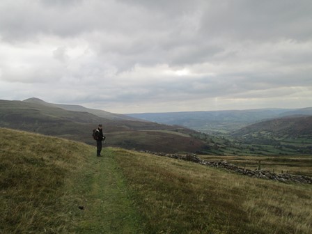
We wend our way down, with "Pen Trumau" to our right and just out of the picture.
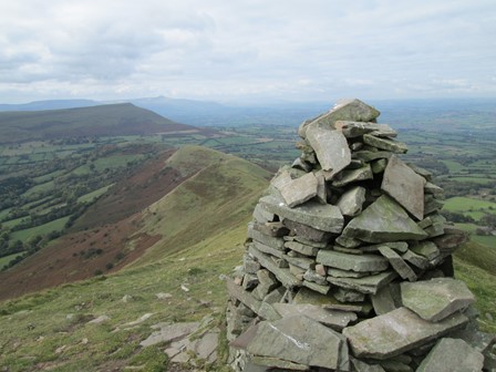
After this cairn, it's one more kilometre to the cairn where we'll find a junction of paths and where we'll decide which way to go down into the Rhiangoll Valley.
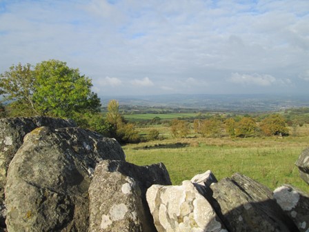
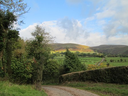
The Rhiangoll Valley beckons us, but ...
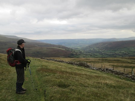
... it's worth a short stop to appreciate the landcsape.
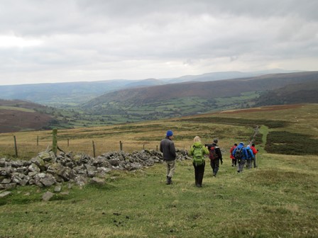
We come closer to the valley, ...
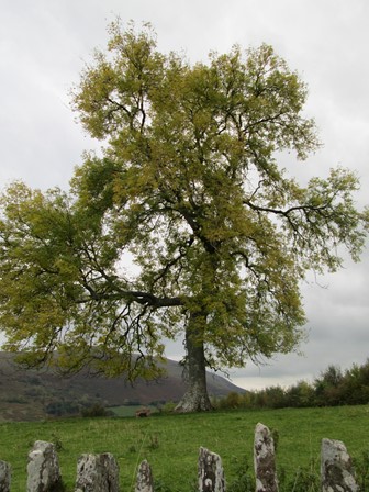
... where this already autumnal tree greets us.
In the valley we start along one of the locally typical narrow lanes, before striking onto a stony and ford-ridden riverside path which takes us back to base. The hills are bathed in the last sunshine of the day - an added spot of colour to see us home after a good walk in the mountains.
Our Evening at the "Dragon's Back"
We had a nice evening at the "Dragon's Back" (Food Hygiene Rating 5 out of 5) on the Talgarth Road. It was only a short walk away from our hostel. The "Dragon's Back", while catering for residents, was, alas, only open to outsiders on Fridays and Saturdays - but it was worth a visit. "The Dragon's Back" is the highest pub in the Brecon Beacons National Park and was originally called "The Castle Inn", presumably after the nearby Castell Dinas. Apparently in Wales, there is a surfeit of pubs called "The Castle" or "Y Castell", and the name "Dragon's Back" was regarded as being more unusual. All this, inspite of the fact that Castell Dinas, at 450 m (1,476 feet) is the highest castle in England and Wales - or at least, what's left of the castle! However, the "Dragon's Back" is - so the publican would have me believe - the name of a nearby hill or mountain ridge. Oh, and the pub is about 300 years old and was originally a farm. Howzat for info?!
Anyway, we had a nice evening with nice fare at the said pub! Unfortunately, it was such a nice evening that I forgot to take a few piccys, but, who knows, we might be back some day!
Eric Scharf
Original: 2015-10-21 @14:35
Updated: 2019-01-26 @23:42
SAGAX REX HANC RETIS ORBIS PAGINAM PINXIT ANNO MMXV ET MMXIX.
© Eric Scharf 2019